Climb with context · Free
Understand the line and steepness
Get a clearer picture of how the climb moves up the wall.
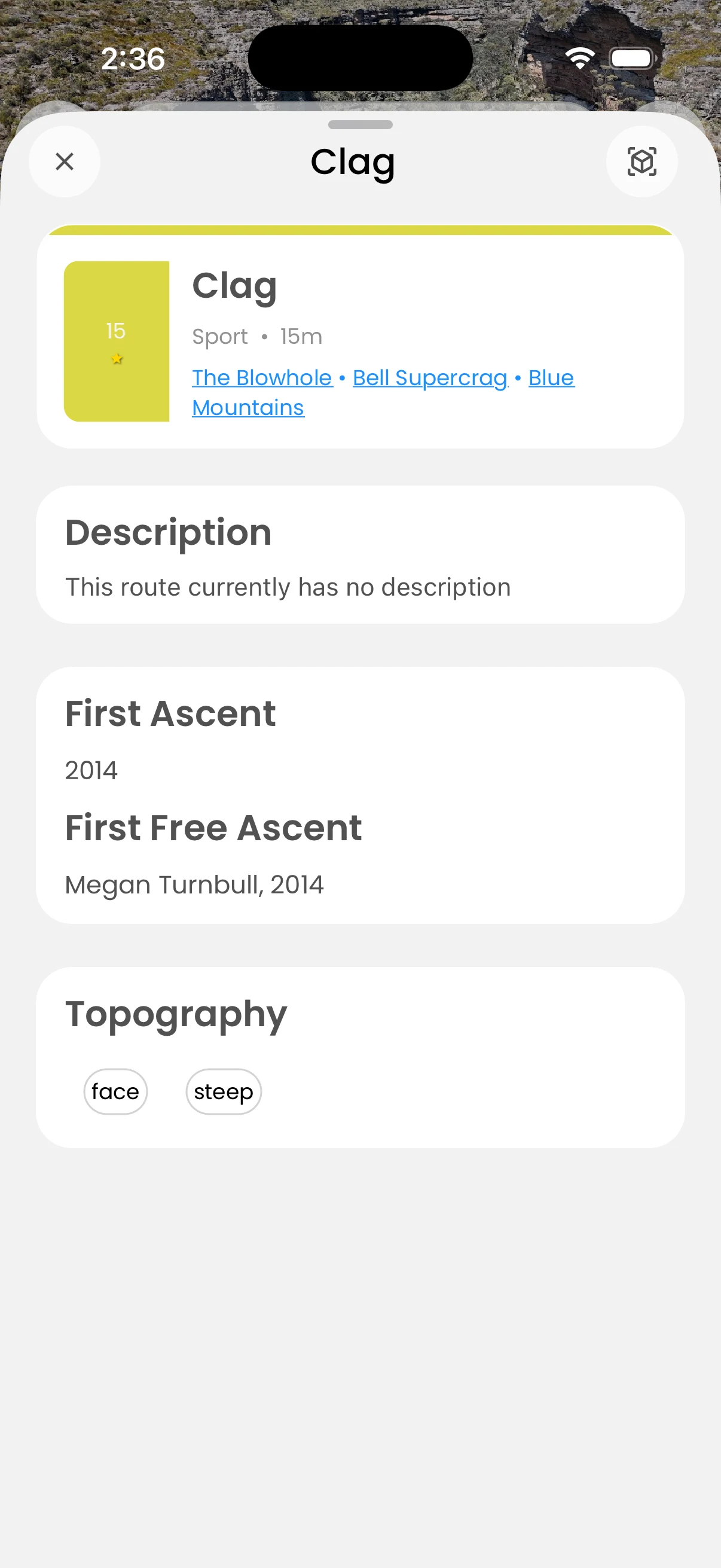
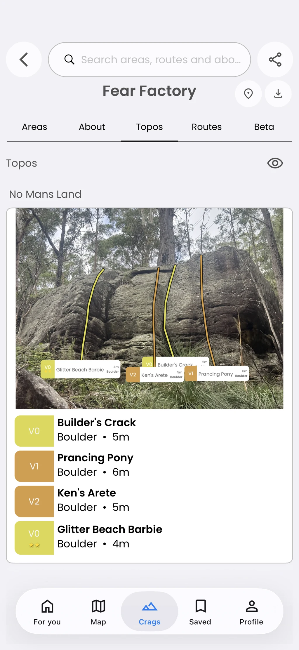
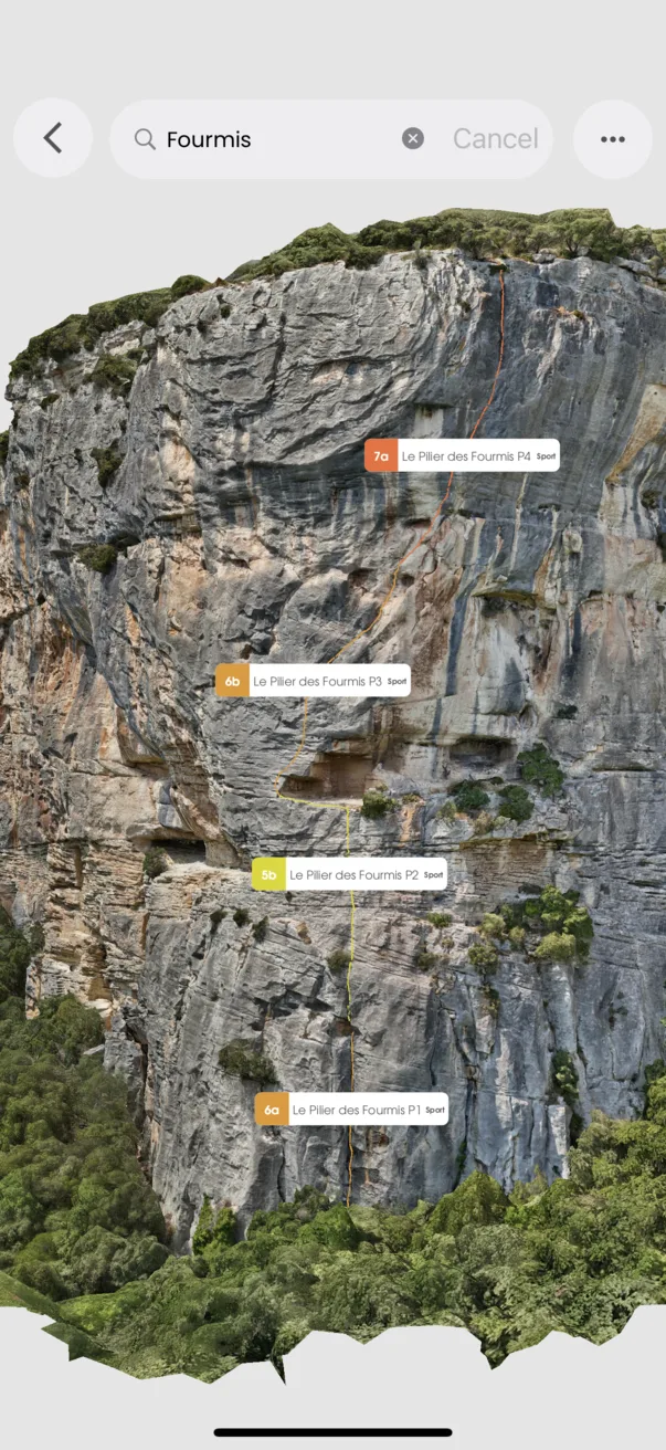
Where route path data exists, inspect the line in a topo or 3D guide and read a verticality profile for more context about its shape.
In the app
How it works
- 01
Open a route with path information.
- 02
Inspect its line in the available topo or guide.
- 03
Review the verticality profile when shown.