Climb with context · Free
See your location in a 3D guide
Orient yourself against the model.
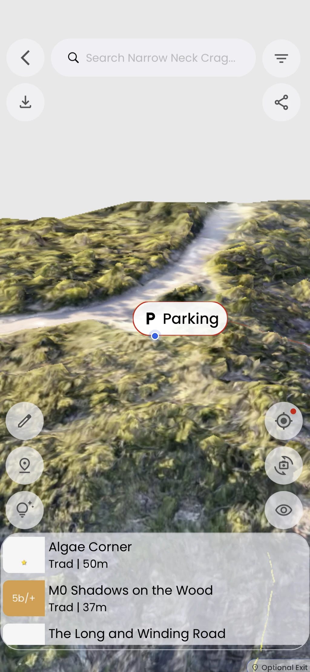
See your position on a georeferenced 3D model, like Narrow Neck in the Blue Mountains. Your location marker helps you relate nearby landmarks and the cliff to the guide.
In the app
How it works
- 01
Open a georeferenced 3D guide, such as Narrow Neck Crag.
- 02
Allow location access when prompted.
- 03
Tap the location control to show your position, and read any accuracy notice.